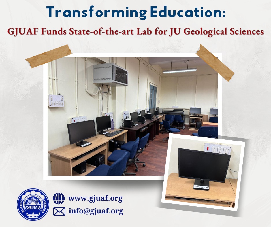
The Remote Sensing Laboratory of the department is heavily used for undergraduate and postgraduate teaching through regular course curriculum. The desktop computers in which the required software and database are installed, have become obsolete and need to be replaced for the upgradation and modernization of the laboratory.
Completed
The Remote Sensing Laboratory is used not only by the students, but also by the research scholars and teachers. Therefore, if supported, students, research scholars and teachers all will benefit. Note that as per the new education policy of the Govt. of India, the University will start a four year undergraduate course from the current academic year. In the revised course curriculum, there will be more flexibilities and options for internship, hands on training, skill-enhancement courses etc. across the disciplines. A modern Remote Sensing Laboratory will be handy in offering such courses for other departments in addition to the regular compulsory courses.
Remote Sensing and GIS have huge applications in the real-life practices of geologists including mineral exploration and exploitation. Remote Sensing is also used in urban/city planning. Several recruiting agencies have their own and separate units for Remote Sensing studies. The application of Remote Sensing is also an integral part of the research activities of many Ph.D. students. Therefore, proper training in Remote Sensing and GIS, equips the students to secure jobs in different sectors and also immensely help in their research projects.
 Open Gallery
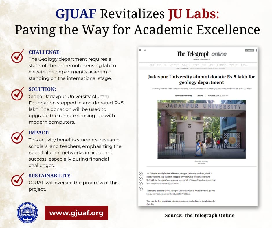
Head of the Department gave an acknowledgment letter acknowledging our fund. Local newspapers published this news. Students will have more opportunities in their professional careers.

_page-0001.jpg)